


Ireland
May
31 to June 10, 2003
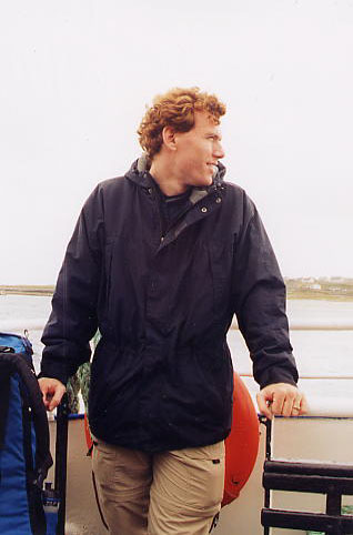
While I was living in Germany and Ben was still in the U.S. we took a ten-day trip to meet as close to half-way as possible. This was the western coast of Ireland. We flew into Shannon airport and made our way up the coast, spending time seeing the sights and enjoying time together.
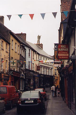
We took the bus to Ennis upon arriving at the airport. Ben had arrived earlier and checked into the hotel. He was, of course, jet lagged. We ate dinner at an Indian restaurant and took the evening off to rest.
The next day we caught a bus to Doolin, little town near the coast. It was a gorgeous day and we hoped to rent bikes from the hostel there (Aillee River Hostel), but they had all been rented out by the time we arrived. We were told it was a 1.5 to 2 hour hike up to the Cliffs of Moher, so we decided to go on foot.
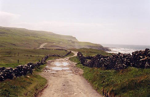
We hiked from Doolin along a "Green Route", a rutted track skirting the coast. The track eventually became nothing more than a cow path. The path was waterlogged and in places we had to cross actual streams. But it was fun. It was along this route that I proposed to Ben.
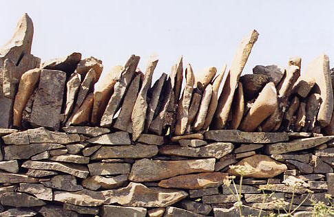
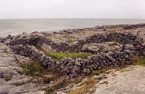
The way was lined with stone walls...
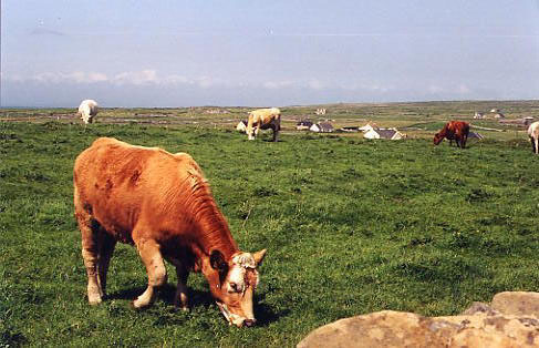
...which kept the numerous cows in their pastures.
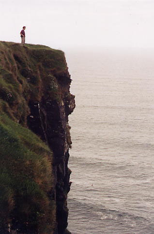
The path led up and up along the cliffs.
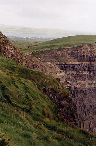
We eventually reached the famous Cliffs of Moher.
It had taken over two hours to do the hike and we were interested in a faster way back. We ended up easily hitching a ride back to Doolin with Anita, a friendly local young woman who designs web pages for the hostels and bed and breakfasts in the area. We had dinner that evening at a busy pub called McDermotts.
The next day we made our way to dock. Our original intent was to take a ferry to Inishmore, one of the Aran Islands, and then another to Galway, but Doolin Ferries wasn't going to be going to Galway that day due to rough seas. Nor would it be returning from Inishmore. So we got a one-way to Inishmore, planning to catch another ferry company there to Rossaveal, a town on the mainland northwest of Galway. To get to Inishmore we first had to take a ferry to the smallest of the Aran Islands, Inisheer. The boat was tiny and the sea rough. By the time we got to Inisheer, both Ben and I were a bit woozy, so we contented ourselves with visiting a little cafe and then taking a short walk through the village.
The next ferry ride, from Inisheer to Inishmore, was calmer since the islands buffered the waves from the ocean.
On Inishmore, we rented bikes and rode along the main road of the island. Rocks, rocks, rocks.
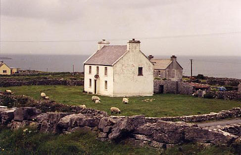
Life on the island continues in many ways as it has for centuries. Of course, now there's satellite TV...
We biked to an ancient fort, Dún Aonghasa, which was in the shape of a half-circle with the open end facing out over a cliff to the ocean.
We later caught the ferry to Rossaveal and then took a bus from there to Galway. In Galway, we settled at our hostel (Barnacles) and spent the next days exploring the small city. A few days later we boarded a bus from Clifden and got off at the Ben Lettery hostel. It was around 1:00pm and the sign on the door said the owner would be back latest at 5:00pm. So we settled outside, though it was chilly and windy, and watched the sheep doing laps around the hostel.
Sheep doing laps.
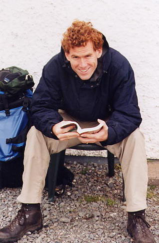
Waiting outside the hostel.
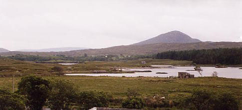
View from the hostel
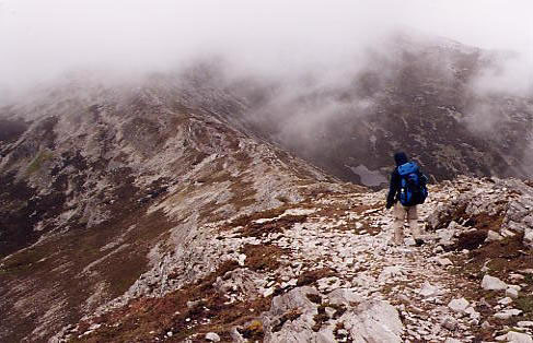
It started to rain about the time the hostel owner and his wife returned. They were super friendly, and since it was raining, we settled in the cozy living room with tea, played some games, wrote, read, and generally hung out. After dinner Ben chatted with the hosteliers about the hike we intended to do to Letterfrack. We were in the land of the Twelve Bens, a set of small mountains. Originally we were thinking of hiking ridgelines -- up Ben Lettery and then along from Ben to Ben. That route would have taken us over six of the twelve plus Diamond Hill in Connemara National Park. But, we were told, Diamond Hill was closed for erosion control and our proposed hike was a very challenging one. We ended up deciding to hike part of the ridgeline and then descend into the lowlands for the rest of journey.
The next day was thankfully precipitation-free. It had rained into the night, so everything was wet, but it was no longer raining. We started by heading straight up Ben Lettery right behind the hostel.
Part way up Ben Lettery (Binn Leitri)
Life at the top of the mountain.
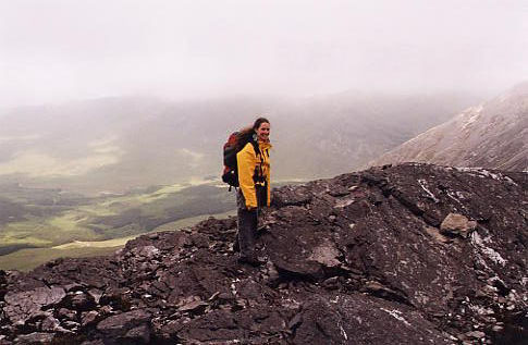
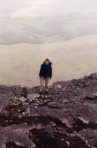
There were views when the fog lifted.
From Binn Leitri we crossed the saddle to Binn Gabhar to the northeast.
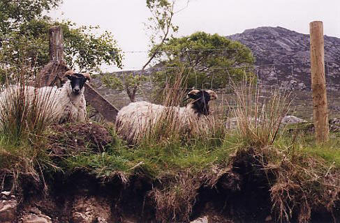
Next was descending into the saddle between Binn Gabhar and Binn Bhraoin and then down into the lowlands. The way down was tricky -- steep, loose rock, sheep bleating at us periodically, and then as we got lower, very damp. In fact, the wet peat bog that greeted us would keep us company throughout most of the rest of the day.
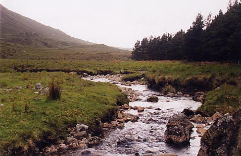
We tromped through it, my feet becoming soaked within an hour, and picked up the stream that flowed through the valley. We followed the stream to a wooded area and hiked along the woods' border.
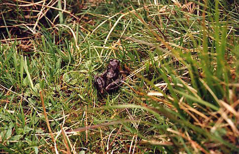
Peat bog wildlife.
The stream eventually led us to a quarry where we picked up a road for awhile which helped our pace quite a bit. We had spent a long time in the mountains and slogging through the bog and were worried about getting to the hostel on time (or close to on time). The road disappeared, but there arose hiking direction signs that pointed the way through the next bog.
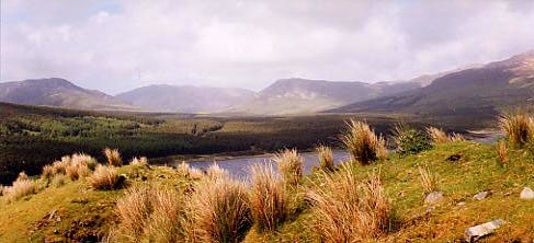
Towards the end of the day, the sun came out and we were able to enjoy the beauty of the area (despite our drenched and aching feet).
The hike took us ten hours. It was about an 18 km trip (~11 miles). We were tired and late to the hostel in Letterfrack, but were able to check in without a problem. We had a fabulous dinner at a nearby pub -- fabulous because it was good food, plentiful, and we were really hungry. We slept well and long that night.
On our last full day we made our way back from Letterfrack to Clifden to Galway and finally back to Ennis, all by bus. And then it was time to part and fly our separate ways.