


Via Julia
May
8-9, 2004
Part 1: Augsburg to Bad Aibling (see Part 2)
The year before, Ben and I had explored many of the bike routes in our neighborhood. One of them, the Via Julia, is a long-distance route that stretched all the way from Augsburg to Salzburg. What interested us about it is that it goes directly through our little village of Mietraching on its long journey and so we determined that we had to ride it.
We decided that in the spring (of 2004) we would take two neighboring weekends and bike the whole thing, biking from Augsburg to Bad Aibling the first weekend and then the rest of the way to Salzburg the following one. It didn't end up working quite that way, but we did end up making the whole journey.
 MK
MK
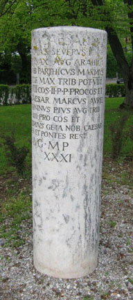
The Romans seized the area north of the Alps as a strategic grab to close the gap between Gall and the middle Danau region. Emperor Augustus sent his two adopted sons, the later Emperor Tiberius and his younger brother Drusus, to lead the offensive in the summer of 15 BC. They marched up through the Alpen valleys and in a fast and brutal campaign, subdued the Germanic tribes, declaring victory on August 1 in Augsburg. There is fossil evidence of the road's existence from the first century AD, but it became a major route in the third century AD when Septimius Severus began a huge road-building project. Fifteen mile-markers from this time still exist. This is one of them.
 BH
BH
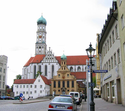
The route begins in Augsburg, which was a province capital in Roman times.
 BH
BH
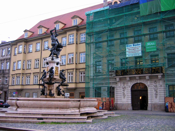
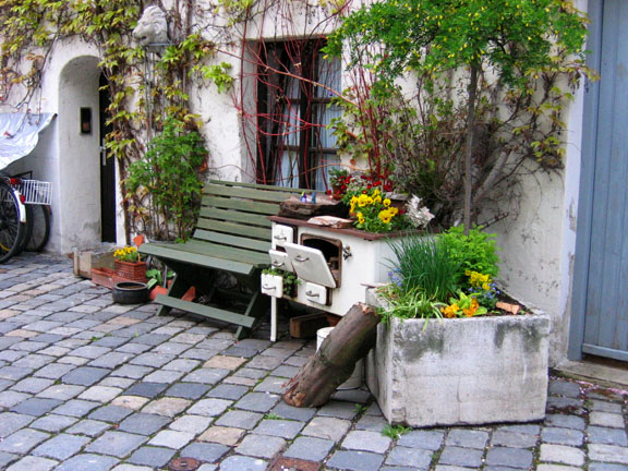
We spent some time being tourists in the downtown.
 MK
MK
And we also visited the city's Fuggerei, billed as the world's first social settlement for impoverished citizens.
 MK
MK
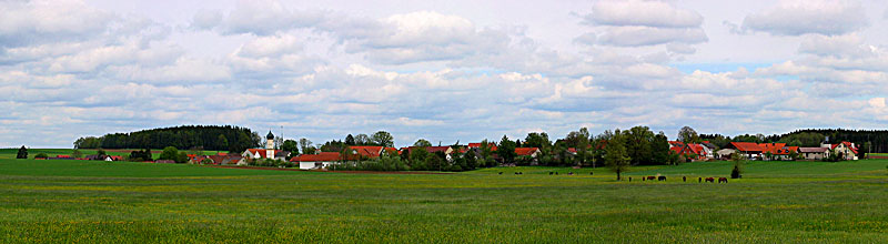
Then we biked off into the countryside. The Via Julia is known to be a Roman road because it is characteristically direct, without regard to natural features such as rivers and mountains. It crosses over seven rivers as a result. The east-west connection between Augsburg and Salzburg was originally used by Roman soldiers, and later by German knights. In the Middle Ages it was an important route for bishops, pilgrims, merchants, and other travelers. Towns sprung up all along its length.
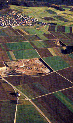
Still to this day, many town streets and farm roads follow the path of the original road. Along its length, field boundaries run parallel to it, and where they don't the old road is still discernable. The route is apparent from aerial photos.
 MK
MK
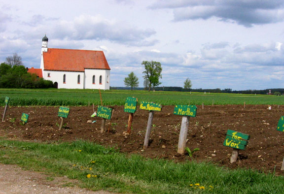
From the ground, the route is not as apparent, except for the bike route signs we followed through towns and fields.
 MK
MK
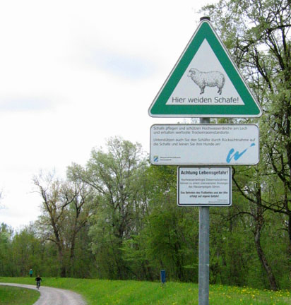
After a while we came to this disturbing sign warning us of killer attack sheep grazing along the route. I'm not kidding; the bottom sign there is titled Achtung Lebensgefahr! ("Warning, Deadly Peril")
 MK
MK
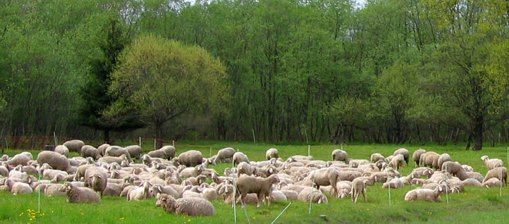
Soon we came upon them. And though they pretended docility we knew they had big sharp pointy teeth. We biked quietly by, hoping they wouldn't notice us.
 MK
MK
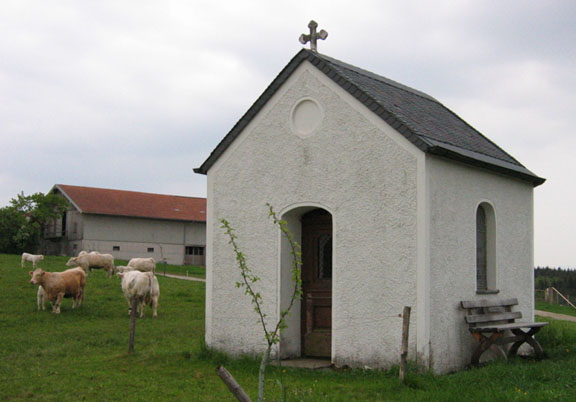
We biked past little old fashioned chapels...
 MK
MK
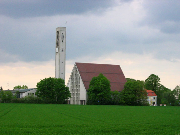
... and modern churches ...
 BH
BH
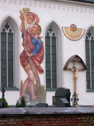
... by traditional Luftmalerei (wall paintings) ...
 MK
MK
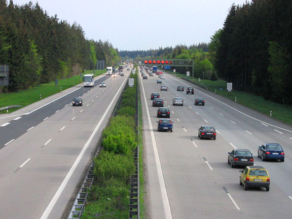
... and over the Autobahn.
We didn't make it all the way to Bad Aibling that first weekend. The weather was cold and gloomy. And my knees were not well-prepared for this, our first biking outing of the season. They hurt a little the first day and a lot the second. So we stopped in the town of Deisenhofen, having biked 63 miles, and took the train home. Later that week I left work a little early and we took the train back out to Deisenhofen and finished up the route to Bad Aibling, another 29 miles.